Showing posts with label history. Show all posts

Friday, September 29, 2017

Langkawi Geopark

Largest of the islands off peninsular Malaysia, Langkawi unfolds as a sweeping expanse of jungle mountains surrounded by the aquamarine water of the Andaman Sea.

Langkawi Island is a geotourism destination. It promotes tourism to geosites and the conservation of geodiversity and an understanding of earth sciences through appreciation and learning.

The declaration and the inception of the Langkawi Development Authority or LADA in 1990 has brought systematic development to the Langkawi Island and transformed the island to the present day modern tourist destination.

The island was part of the primordial landmass of Gondwanaland, and many of the forests and mineral deposits here are more than 500 million years old.
Throughout the island, more than dozen intriguing caves exhibit elaborate limestone stalactites and stalagmites.

Langkawi was declared as a Geopark by the state of Kedah and Langkawi Geopark was accepted as the 52nd member of Global Geopark Network (GGN) in 2007.
A geopark is a unified are with geological heritage of international significance and where that heritage is being used to promote the sustainable development of the local communities.

GGN is network under the auspices of UNESCO. Langkawi is the Malaysia’s first UNESCO Geopark. 

Tourist arrivals to Kilim Karsts Geoforest Park grew tremendously since it was declared a Geopark in 2007.
Langkawi Geopark

Friday, December 9, 2016

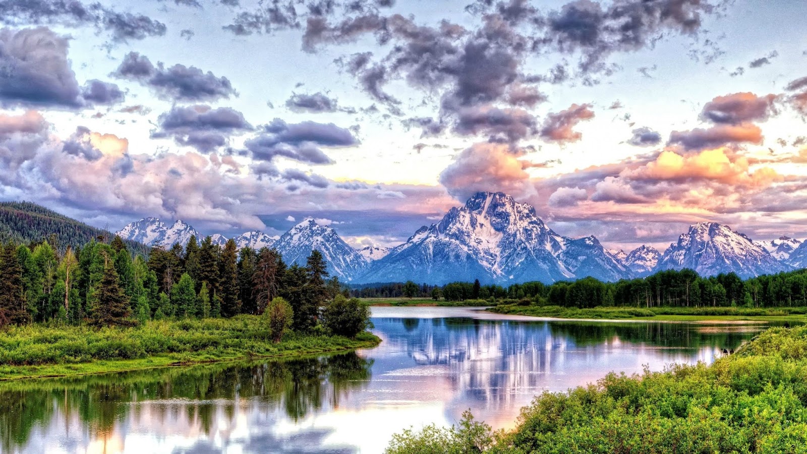
Grand Teton National Park

Grand Teton National Park includes Jackson Hole and the adjacent Teton Range, and consists of more than 480 square miles of high mountains (maximum height 13,766 feet) coniferous forests, and sage-covered plains between 6,000 and 7,000 feet.

Grand Teton National Park is located in the western United States in state Wyoming. It has around 310,000 acres and it includes the 40 miles long Teton Range.

Lodgepole pine forests drape the shoulders of the Teton Range. These dark0green forests also dot the valley of Jackson, in places where tree roots can found adequate water such as near the Snake River or its tributaries.

Lodgepole pine trunks are long and straight. They were valued by early pioneers for making cabins and other buildings.

Grand Teton National Park together with Yellowstone National Park comprises a strategic core of a vast upland wilderness; five national forests and three other define its parameters.

The history of Grand Teton dates more than 11,000 years back when the nomadic Paleo-Indians migrates to this region during warm months searching for supplies for their existence. Grand Teton National Park was established in 1929 to preserve the most spectacular section of the scenc Teton Range.

With the addition of most of the former Jackson Hole National Monument in 1950, the park was enlarged to its present size.
Grand Teton National Park

Wednesday, September 30, 2015

Great Smoky Mountains National Park

In 1923 a Great Smoky Mountains Conservation Association was established with Willis Davies as president.

On December 13, 1926 the Southern Appalachian National Park Committee recommended the establishment of two parks, Shenandoah in the Blue Ridge Mountains of Virginia and the Great Smoky Mountains in Tennessee and North Carolina. In 1934, Great Smoky Mountains National Park was finally established, preserving unique mountain landscape for future generation.

The park houses the best and most complete collection of historic log buildings in the eastern US.

More than one hundred modest homes, gristmills, one-room schoolhouses, barns, outbuildings and churches remain to tell the story of the European settlers who began to arrive here in the late 1770s, as well as their descendents who lived and worked here until the national park was established in 1934.

Five different forest types dominate the Great Smoky Mountains National Park, and together they support 130 species of tree and 4000 other plant species.

The Smokies are something of an eastern rainforest in that they received more than 80 inches of rainfall annually. The park is also home to more than 1800 black bears, 80 Canadian elk, and some 100,000 living organism, making it one of the most diverse collections of flora and fauna in the Southern Appalachian.

Its biological diversity is the major reason the park was named an International Biosphere Reserve and World Heritage Site.
Great Smoky Mountains National Park

Monday, May 5, 2014

Green Park, London

London’s royal parks are often busy affairs, filled with flowerbeds, statues, ponds, playgrounds and more. 

Like St. James’s park, Green Park was reclaimed from the marshy meadows that surrounded the Tyburn River as it made its way south to the Thames.

Covering 19 hectares, it lies between London’s Hyde Park and St. James’s Park.

Originally purchased by Henry VIII for enclosed grazing and hunting, the land was made into a formal park in 1667. It was opened to the public in 1826.

It became favorite place for duels, lovers’ trysts, parades, ballooning, and people watching.

Green Park has no lakes, no buildings and few monuments, having only the Canada Memorial by Pierre Granche and the Constance Fund Fountain. The park consists entirely of wooded meadows.

The grass in Green Park is the best in London. With its splendid trees and lack of artificial ornamentation it comes closest to the sylvan-meadow ideal of a great city park.
Green Park, London

Friday, December 13, 2013

Forests and History

Forests and History
Since beginning farming, man has been felling woodland to get more land for cultivation.

Plato wrote of the Attica heights outside Athens that they resemble “the skeleton of a body waste by disease” as a result of deforestation.

Europe has lost 50-70 percent of its original forest. Much of the continent’s forests were felled in the early Middle Ages, to provide either more agricultural land or firewood.

Half of France’s forest disappeared between 1000 and 1300. The Black Death wiped out one third of Europe’s population in the Middle of the fourteenth century, receiving pressure on the forests, which in many cases grew back again.

It was not until the 1500s and 1600s that an ever increasing number of people again put the forests under pressure and more large areas of it were felled.

By 1700, France’s forests had been reduced in size by more thank 70 percent compared to 1000 CE.

In eighteenth centaury, however, people became aware of the fact that the forests were became limited resource and that they were important for naval shipbuilding purposes.

For this reason area in Europe only fell by about 8 percent from 1700 onward.

The US has only lost approximately 30 percent of its original area, most of this happening in the nineteenth century.

The lost has been higher mainly because population pressure has never been as great there as in Europe.

The doubling of US farmland from 1880 to 1920 happened almost without affecting the total forests are as most was converted from grassland.

On the other hand, many regions of the world experienced increased deforestation in the nineteenth century.

Latin America became part of the world economy at an early stage and has cleared approximately 20 percent of its forest cover over the last 300 years.

Much of it went to make way for sugar and later coffee although a gold and diamond fever, which started in 1690, also helped to clear approximately 2 percent of the forests in Brazil.

Asia, which has long had intensive farming, joined the world economy relatively late. It was not until the American Civil War and the opening of the Suez Canal in 1869 that India began to export cotton on a large scale.

All in all, southern Asia and China have lost about 50 percent of their forest cover since 1700.

Southeast Asia, on the other hand has only lost 7 percent over the last 300 years, while Africa and Russia have each lost a little under 20 percent.

Globally it is estimated that we have lost a total about 20 percent of the original forest cover since the dawn of agriculture.

This figure is far smaller than the one so often bandied about by the various organizations.
Forests and History
Monday, April 29, 2013

Cradle Mountain – Lake St Claire National Park

Cradle Mountain – Lake St Claire National Park is part of the larger Tasmanian World Heritage Area. 

Mountain peaks, dank gorges, pristine lakes, tarns and wild moorlands extend triumphantly from the Great Western Tiers in the north to Derwent Bridge on the Lyell Hwy in the South.

Cradle Mountain, in the north of the park, is 85km from Devonport and 181km Launceston. Lake St Clair, in the south is 180 km from both Hobart and Launceston.

Cradle Mountain was first climbed by an Austrian, Gustav Weindorfer, 1910.The national park was declared through his efforts.

Cradle Mountain has an extraordinary range of wildlife.
Cradle Mountain – Lake St Claire National Park

The most popular posts

Other Interesting Articles

  • Turmeric (*Curcuma longa*) is best known for its bright yellow rhizome, which contains the well-known compound curcumin. However, the leaves of the turme...
  • Napier grass ( *Pennisetum purpureum* ), commonly known as elephant grass, is one of the most valuable fodder crops for dairy farmers in tropical and sub...